Ocean Current Map Screensaver
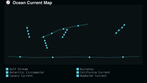
The Ocean Current Map screensaver shows the world's major real ocean currents, animated to reflect their real direction and relative speed. It is free, runs in your browser, and ESC exits.
Live preview
Press ESC to leave fullscreen. Settings are saved in your browser only.
How the Ocean Current Map screensaver works
The saver draws a world map overlaid with the real major ocean current systems, including the Gulf Stream, Kuroshio and Antarctic Circumpolar Current.
Flowing particles animate along each real current's known direction, faster along swifter real currents.
The map is a real, curated reference of well-documented global circulation patterns.
No live feed is required — ocean circulation patterns change on geological, not daily, timescales.
What drives the ocean's circulation
Surface currents are driven mainly by the wind. Steady patterns such as the trade winds and the westerlies push the upper layers of water, and the Earth’s rotation deflects the flow through the Coriolis effect, to the right in the Northern Hemisphere and to the left in the Southern. The result is great circular systems called gyres, found in each major ocean basin.
Along the western edge of the gyres flow narrow, fast currents such as the Gulf Stream in the North Atlantic and the Kuroshio in the North Pacific, which carry warm water towards higher latitudes. The Gulf Stream’s top surface speed is about 2.5 metres per second, according to Australia’s Bureau of Meteorology. The Antarctic Circumpolar Current is different: it circles Antarctica, linking the Atlantic, Pacific and Indian oceans, and moves more water than any other current, though far more slowly than the Gulf Stream.
Deeper circulation works on another mechanism. Differences in temperature and salinity change the density of seawater, and dense water sinking at high latitudes drives a slow deep-ocean circulation often called the thermohaline or overturning circulation. The animation here is a stylised map. Real currents meander, form eddies and vary with season, so the lines show typical paths, not the exact water motion on any given day.
A worked example
The real Gulf Stream's particles move noticeably faster than the broader, slower Antarctic Circumpolar Current, matching their real documented speeds.
Settings & tips
- Accent recolours the flowing particles.
- Currents shown are real, well-documented global circulation systems.
- Speeds are relative and illustrative of real documented differences.
Frequently asked questions
- Are these real currents?
- Yes — all currents shown are real, well-documented global ocean circulation systems.
- Is a key needed?
- No — the map is a curated real reference.
- Does this update live?
- No — major ocean currents are stable over human timescales, so this is a real static reference.
- Is it free?
- Yes — free, no download, in your browser.
- Does the Gulf Stream keep Western Europe mild?
- It carries warm water north-eastward across the Atlantic, but its role in Europe’s mild winters is debated. Research by Seager and colleagues attributes most of the winter contrast with eastern North America to seasonal ocean heat storage and atmospheric circulation, while other scientists argue the ocean transport matters more.
- How fast do ocean currents move?
- Speeds vary widely. The Gulf Stream, among the fastest, peaks at about 2.5 metres per second at the surface, while the Antarctic Circumpolar Current is slower but carries far more water.